Home |
Trail Description |
Maps |
Villages |
Services |
Accommodation |
Publications |
Travel |
Trailhead Shop
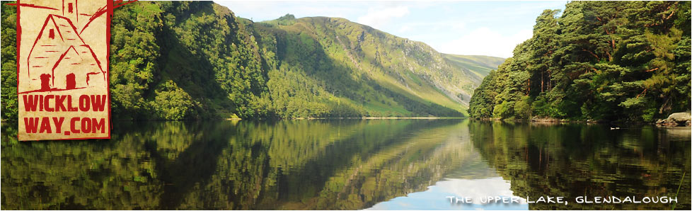
Those who have the time to spare could profitably spend a whole day walking and exploring the Glendalough area as it has much to offer both scenically and historically.
The Wicklow Way crosses the main valley floor, just after the Visitors Centre, via a footbridge over the Glendasan River, and continues up-valley to Poulanass waterfall. Here the trail turns into the Lugduff valley and the start of a 4-5 km uphill trek of 400m to the shoulder of Mullacor (657m), crossing the boggy saddle between it and Lugduff on a boardwalk.
A descent of similar magnitude follows into the Glenmalure Valley. This provides panoramic views up the valley, along Lugduff ridge and then southwest to Art's Lough, Fraughan Rock Glen and Lugnaquillia (Wicklow's highest mountain) on the descent to the end of this stage at the Glenmalure Lodge at 62km.
Birchdale House B&B in Greenan are nearby and will gladly collect guests from the trail by prior arrangement.

